
Kathmandu, July 7 — Few infrastructure projects have altered the course of Nepal’s history as profoundly as the Mahendra Highway. More than a road stretching across the southern plains, it is the physical thread that stitched together a geographically divided nation and laid the foundation for Nepal’s modern economy.
Before the 1960s, travelling from eastern Nepal to the far west was an arduous undertaking. Large parts of the country lacked an all-weather road connection, forcing people to rely on foot trails, limited air services, or, in many cases, transit through Indian territory to travel between districts. Domestic trade remained fragmented, while many communities in the western Terai and Inner Madhesh were isolated from the rest of the country.
Recognising that national integration required a continuous transport corridor, the late King Mahendra Bir Bikram Shah Dev envisioned an east-west highway that would connect Nepal from Mechi to Mahakali without dependence on foreign routes. On 13 April 1962 (1 Baishakh 2019 B.S.), King Mahendra laid the foundation stone for what would become the East-West Highway, a project that was later named the Mahendra Highway in recognition of his initiative.
Building a road across more than 1,000 kilometres of forests, rivers and floodplains was an enormous challenge for a country with limited financial and technical resources. Nepal therefore sought assistance from several friendly nations. Different sections of the highway were constructed with support from countries including India, the former Soviet Union, the United States and the United Kingdom, reflecting Nepal’s balanced foreign policy during the Cold War while pursuing a common national objective.
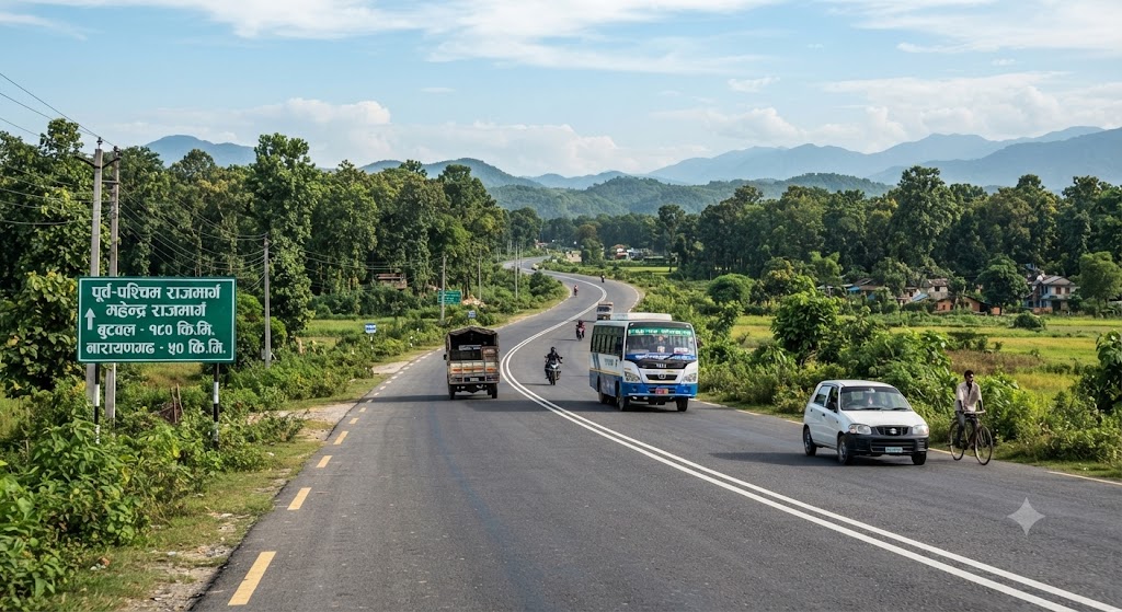
The project progressed in phases over several decades before the entire corridor was blacktopped, creating Nepal’s first uninterrupted east-west road network. Today, the highway extends approximately 1,028 kilometres, linking Kakarbhitta in the east with Gaddachauki in the far west and serving as a key segment of the Asian Highway network.
Its impact reached far beyond transportation. The highway transformed the economic geography of Nepal by opening fertile agricultural land to national markets, encouraging industrial investment, and accelerating the growth of urban centres such as Biratnagar, Janakpur, Hetauda, Bharatpur, Butwal, Nepalgunj and Dhangadhi. Industries, logistics hubs, educational institutions and health facilities increasingly developed along the corridor, turning it into the country’s principal economic artery.
The Mahendra Highway also reshaped social life. It brought remote settlements closer to schools, hospitals, government services and commercial centres, reducing travel time and strengthening connections between Nepal’s diverse regions. What was once a journey measured in weeks gradually became a matter of hours, creating new opportunities for trade, employment and migration.
More than six decades after its foundation was laid, the highway continues to carry the overwhelming share of Nepal’s domestic freight and passenger traffic. Ongoing widening projects, bridge upgrades and capacity improvements reflect its enduring importance to national development as traffic volumes continue to rise.
History often remembers leaders through institutions, policies or political events. King Mahendra’s enduring legacy, however, is also visible in concrete and asphalt. Every truck delivering food to a market, every bus connecting families across provinces, and every entrepreneur transporting goods from east to west travels a route born from a vision conceived more than sixty years ago. The Mahendra Highway remains not only Nepal’s longest road but one of its most consequential nation-building achievements.